
After a rainy, dreary and at times stormy Tuesday, sunshine returns to Chicagoland on Wednesday, along with seasonal early-fall temperatures.
There is a Dense Fog Advisory in effect for areas in the northwest suburbs until 9 a.m., but clouds will lift as the day goes along for sunny skies.
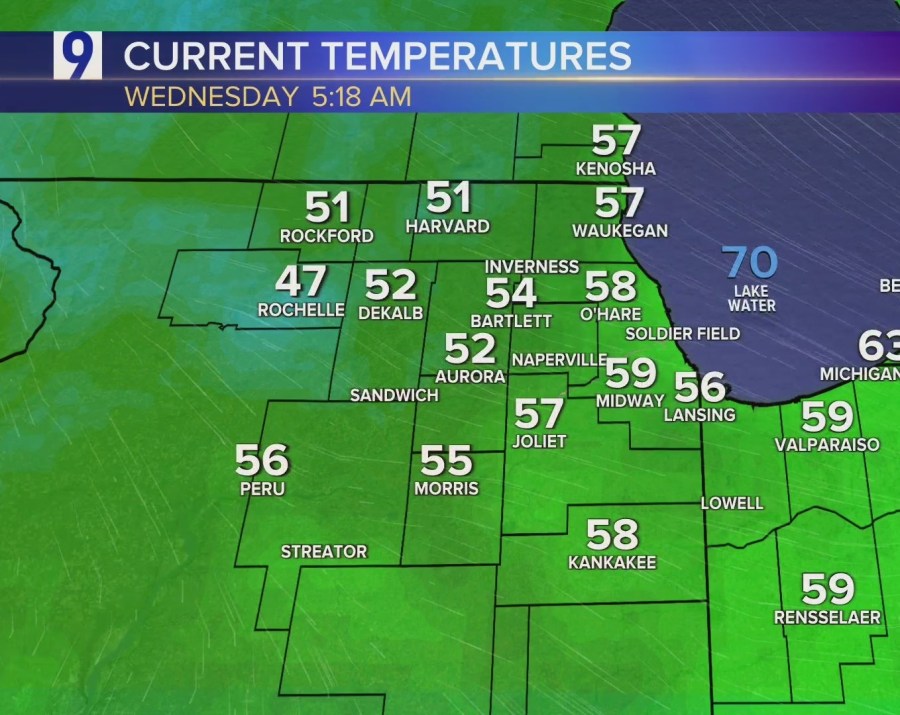
Early-morning temps ranged mostly in the mid- to upper 50s, though some far western areas topped out in the high 40s just before sunrise.
High temps Wednesday will range in the mid- to low 70s, right in line with normal temps for this time of year. It will then get a little chilly overnight, especially for outlying areas well away from Lake Michigan, which could see temps drop into the 40s.
But Thursday is looking like another nice one, with sunny skies and temps even a little warmer than Wednesday. That pattern looks to continue, more or less, for the near future, though there is a chance of rain for both Saturday and Sunday, as of now.

Forecast
TODAY: Dense Fog Advisory in the NW suburbs until 9 a.m. A few showers in NW Indiana. Becoming mostly sunny by afternoon and warmer. Winds NW/NNE at 5-10 mph. High 74.
TONIGHT: Mostly clear and chilly overnight, outlying areas in the 40s. Winds NNE at 0-5 mph. Low 57, upper 40s in the far western suburbs.
TOMORROW: Mostly sunny and a bit breezy. Winds ENE at 5-10 mph, gusts to 20. High 77.
EXTENDED OUTLOOK: Increasing clouds on Friday, with temps in the mid-70s. A chance of showers returns for the weekend, for both Saturday and slightly less of a chance on Sunday, with high temps both days in the mid- to low 70s.
The post Wednesday forecast: Sun returns to Chicagoland, along with seasonal temps appeared first on Patabook News .