
TAMPA, Fla. (WFLA) — The tropics remain eerily quiet, but there could be signs of life in the Gulf and Caribbean waters in the coming week or so.
WNCN Chief Meteorologist Wes Hohenstein joined the Tracking the Tropics team to talk impacts from Potential Tropical Cyclone 8, which battered the Carolinas with several inches of rain, and to break down what could be brewing in late September.
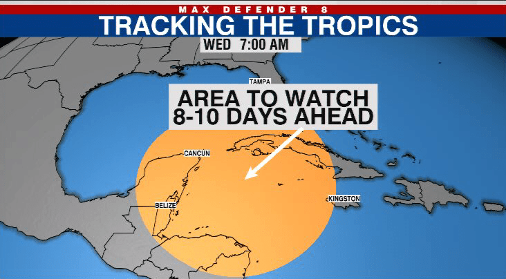
The GFS and Euro models indicate a low pressure system could form in the western Caribbean in approximately seven to 10 days. As for a potential system’s track and intensity, it’s far too early to tell, if it ends up developing at all.
“We’re watching this closely. It has varied wildly model run to model run,” Max Defender 8 Meteorologist Rebecca Barry said. “When a system hasn’t formed yet and it’s this far out, there’s a ton of uncertainty with it.”
Activity in the Gulf and Caribbean typically ramps up later in hurricane season, as this is the area with the warmest waters and most available ocean energy.
The post Watching the Caribbean for possible tropical development | Tracking the Tropics appeared first on Patabook News .