
It’s felt like fall this weekend, but summer isn’t done just yet.
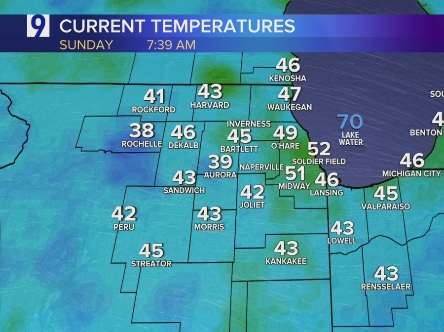
Chicagoland recorded its lowest temperatures since May on Saturday, and Sunday has dawned chilly again, with some locations in the upper 30s around 7:30 a.m.
It’s going to get warmer, though.
It should be a beautiful day at Soldier Field for the Bears home opener, as temps will warm into the mid-70s on Sunday afternoon, with plenty of sunshine.
A heat dome is slowly moving east, which will push temps back into the low 80s by Monday, the mid-80s by Tuesday and close to 90 by Wednesday and Thursday.

That could be the final gasp of summer, though, as temps should decline again by next weekend, which is also showing some much-needed September rain in the early forecast. Chicago hasn’t had any rain yet this month, and that looks to continue through a warm, sunny upcoming week.

Forecast
TODAY: High overcast skies this morning. Sunny and milder by the afternoon. Winds W at 5-10 mph. High 75.
TONIGHT: Mostly clear and not as chilly. Winds WSW at 5-10 mph. Low 56.
TOMORROW: Mostly sunny, a bit breezy and warmer. Winds WSW at 5-15 mph, gusts to 20. High 83.
EXTENDED OUTLOOK: More summery warmth ahead, with temps getting into the mid-80s on Tuesday and lots of September sun. Hottest temps look like Wednesday/Thursday, with temps getting near 90. Still warm on Friday, with highs in the mid- to upper 80s. Looks like a chance of some much-needed September showers returns on Saturday.
The post Sunday forecast: Sunny and warmer, with summer heat headed back to Chicagoland appeared first on Patabook News .