While Southern Californians can enjoy mild temps and sunny skies with scattered cloud cover over the next few days, yet another spring squall with possible thunderstorms and an outside chance of severe pockets of weather is forecast for the weekend, the National Weather Service reported.
In the immediate future, daytime temperatures are expected to remain in the 60s through Friday, with evenings in the low 50s.
As we roll into Saturday, though, the sunshine will likely fade, giving way to cloud cover in the mid to high range and cooler temperatures.
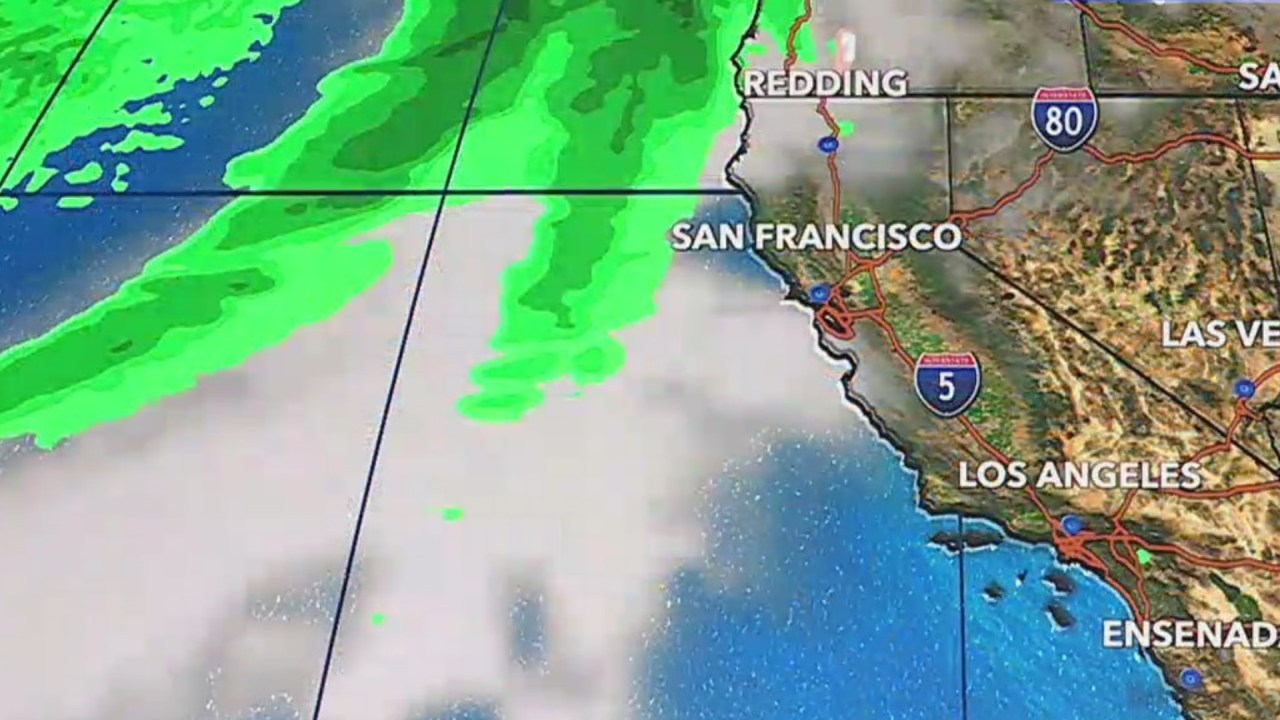
San Luis Obispo, Santa Barbara and Ventura counties may see heavy rainfall as early as Friday, with L.A. County getting little to none until Saturday. Moderate rain is then forecast to stick around through Monday.
Between Saturday and Sunday nights, there is a 10-20% chance of thunderstorms over the Southland and the potential for blasts of more intense moments.
“Can’t rule out isolated severe weather…including hail, strong winds, and even a small waterspout or tornado,” NWS said.
Coastal and valley regions could see anywhere from 1 to 3 inches of rain as the storm passes through, while those in mountain and foothill communities may get 3 to 5 inches. Forecasters added that there is a 30% chance that SoCal gets double these amounts of precipitation.
Whether it will rain all day Easter Sunday is a bit up in the air, according to KTLA Meteorologist Vera Jimenez.
“It is going to be a slow-moving system and we are going to see widespread rain on Saturday,” Jimenez said. “At this point, it looks like Sunday is going to be very showery, which means it’s also going to be a little scattered as well. So, not a complete washout.”

Given the already rain-soaked terrain from previous storms this season, residents who live on or along hillsides and burn scars should be prepared for the possibility of additional mud and debris flows. Those in mountain communities should also take precautions as rockslides will be a danger.
Significant snow accumulation, between 2-3 feet, is also expected at elevations of 6,000 feet and higher, with a small potential for light accumulation at around 4,500 to 5,000 feet.
As the winds pick up with the incoming storm, weather officials report a moderate-to-high chance of a small craft advisory in Southern California waters Thursday night through the weekend.
Surf as high as 4 to 7 feet could hit L.A. and Ventura counties beaches with the big waves peaking late afternoon or evening Saturday. Beachgoers are warned to avoid the water as strong and dangerous rip currents are expected at the same time.
By Tuesday, warmer, dryer weather will take over and is expected to last through the rest of next week.