Last September, seismologists around the world detected vibrations unlike any they’d picked up before. A monotonous hum seemed to be emanating from Greenland. It would last for nine days.
“This very, very weird signal showed up that I’d never seen before at some of our stations in the North,” said Carl Ebeling, a seismologist with the University of California, San Diego’s Scripps Institution of Oceanography.
Soon after the vibrations began, a cruise ship sailing near fjords in Greenland noticed that on the remote Ella Island, a key landmark — a base used for scientific research and by the Danish military for sled dog patrols — had been destroyed.
The events drew an international group of seismologists, the Danish military and oceanographers into the mystery: What had struck the island, and where did it come from?
On Thursday, researchers released their conclusions in the journal Science. The island had been hit by one of the biggest tsunamis ever recorded, they said, with waves that left a watermark about 650 feet high.
It was the result of a series of rare, cascading events set in motion by climate change.
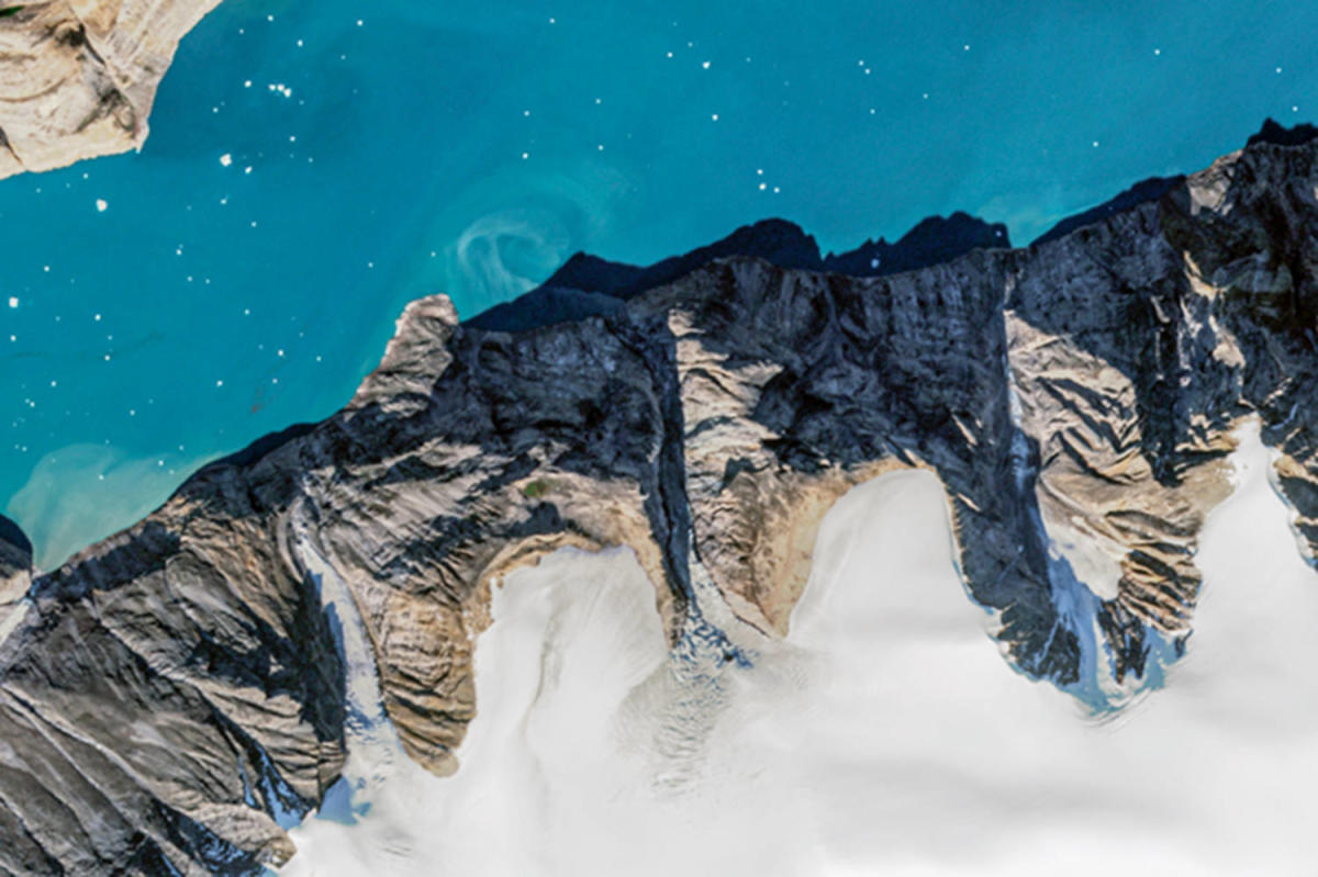
The initial trigger came when warming temperatures caused the tongue of a thinning glacier to collapse, the researchers found. That destabilized a steep mountainside, sending a rock and ice avalanche crashing into Greenland’s deep Dickson Fjord. That displaced a massive volume of water, so a towering wave traveled across the narrow fjord, which is about 1.5 miles wide.
The tsunami waves — some at least as tall as the Statue of Liberty — ran up the steep rock walls lining the fjord. Because the landslide struck the waterway at a nearly 90-degree angle, waves bounced back and forth across it for nine days — a phenomenon scientists call a seiche.
“No one had ever seen anything like this,” said Kristian Svennevig, the study’s lead author and a geologist and senior researcher with the Geological Survey of Denmark and Greenland.
The findings are the result of a complex, yearlong investigation. The team determined that Ella Island — about 45 miles from the landslide — was battered by a tsunami at least 13 feet tall. Tourists sometimes visit the island.
“Just a couple of days before the event, cruise ships were there and they were on the beach,” Svennevig said. “It was really, really lucky that no one was there when it happened.”
This seiche was the longest scientists have ever observed. Previously, tsunamis caused by landslides typically created waves that died out within a few hours.
“It’s really a cascade of events and it hasn’t been observed before,” said Alice Gabriel, a co-author of the study. “Earth is a very dynamic system and at the moment, we are in a phase where this very sensitive balance gets perturbed quite violently due to climate change.”
Tsunamis caused by landslides are more common than many people realize and dangerous for people living or working in some regions of the Arctic and subarctic.
In 2017, four people were killed and 11 houses were destroyed after a landslide touched off a tsunami that struck the village of Nuugaatsiaq in west Greenland. The wave was likely at least 300 feet tall. Two villages were abandoned after the event because more landslides are possible. Hundreds of people remain displaced, Svennevig said.
Bretwood “Hig” Higman, a geologist in Alaska who studies landslide tsunamis but was not involved in the new research, said he has compiled evidence that suggests landslide tsunamis are a growing problem, though more studies are needed.
“I’m fairly confident we’re seeing these events become more prevalent,” he said. “Exactly how much more prevalent these events are getting and can we make a prediction of the future? We’re not there.”
Higman said he thinks the researchers behind the Greenland study “nailed it” with their analysis and that it’s an important example of how hazardous these landslide tsunamis can be.
Arctic and subarctic regions are warming at two to three times the rate of the rest of the Earth because as ice melts away, the darker surfaces that get revealed absorb more sunlight. The warming is driving three dynamics that can make landslides more common in glaciated regions, Higman said.
The first is that higher temperatures are causing permafrost within rock formations to erode, which can weaken slopes and make them more likely to collapse. Second, warming is thinning glaciers that sometimes hold up rock slopes. Removing that ice can cause sudden collapse. Third, climate change increases the chances of extreme rainfall, a top risk factor for landslides because saturated rocks and soils are more prone to slide.
Higman is cataloging Alaskan slopes at risk of landslides that could cause tsunamis. He said there are dozens of sites he’s concerned about that need further investigation. Some are near populated areas and could spell catastrophe if they slid.
“We’re in an awkward position. Scientists know something but don’t know enough to provide certainty to act on,” Higman said.
Last month, the U.S. Geological Survey reported a 56-foot landslide tsunami in Alaska’s Pedersen Lagoon. Higman visited the site and thinks the tsunami was larger than initial estimates.
Worldwide, the risk is growing as development expands in some polar regions, which is increasing visits from miners, shippers and tourists, Svennevig said.
“More people are there at the same time the risk, the geohazard, of these landslides is also increasing,” he said. “It’s an unfortunate mixture.”
This article was originally published on NBCNews.com