Following a stormy start to the day Friday, another system of scattered storms is moving its way into parts of the Chicago area this evening.
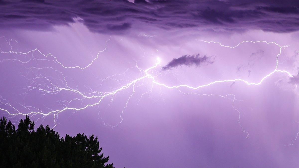
A severe thunderstorm warning has been issued for parts of Newton and Jasper counties in Northwest Indiana, with wind gusts of 60 miles per hour and quarter-sized hail possible.
Friday was off to a wet and stormy start for some parts of the Chicago area, with rainy weather leading to numerous crashes, delays and a ground stop at O’Hare Airport.
According to NBC 5 Meteorologist Alicia Roman, Friday’s rain was associated with a cold front set to move into the area — just in time for the start of meteorological fall, which begins Sunday.
“As we approach Labor Day, it’s starting to feel more like fall,” Roman said.
Here’s what to expect and when heading into the long Labor Day weekend.
Friday morning
Rain moved out of much of the area by mid-morning Friday.
The early-morning showers and storms mainly impacted counties to the north and west of Chicago, including Lake, Northern Cook and DeKalb Counties. Live weather radar showed stronger storms in Kane and DeKalb counties, Roman said.
Things are expected to dry up briefly before the next round moves in.
Friday afternoon
According to the Storm Prediction Center, most of the Chicago area Friday afternoon is under a “marginal” risk of severe weather, which ranks as level one of five. The greatest threats associated with Friday afternoon storms were damaging winds up to 60 miles per hour, hail and heavy downpours.
“Storms, if they do move in, could stay south and southeast of Chicago,” Roman said, of the potential trajectory.
Scattered rain showers were expected to last through Friday night, with rain moving into northwest Indiana overnight and early Saturday morning.
Labor Day weekend
After Friday’s rain, beautiful weather is expected for the long holiday weekend — although beachgoers may want to be alert.
Chicago’s Labor Day weekend forecast calls for dry and sunny conditions, Roman said, with lower temperatures and dew points.
Temperatures are expected to sit in the mid-80s Saturday, but with less humidity, Roman said.
Sunday and Monday are expected to be pleasant and comfortable, in the low 80s and mid 70s.
Roman warned that while weekend weather may seem perfect for the beach, “dangerous conditions” were expected at Lake Michigan.
According to the National Weather Service, a high swim risk at southern Lake Michigan beaches will go into effect Sunday, with high waves, hazardous boating conditions and life threatening currents.
The timing for those conditions isn’t ideal, as Monday marks the end of the summer swimming season at Chicago beaches.
According to Chicago Park District officials, the determination on whether conditions are safe enough for swimming will be made by 11 a.m. each day, with an announcement made on the district’s website.