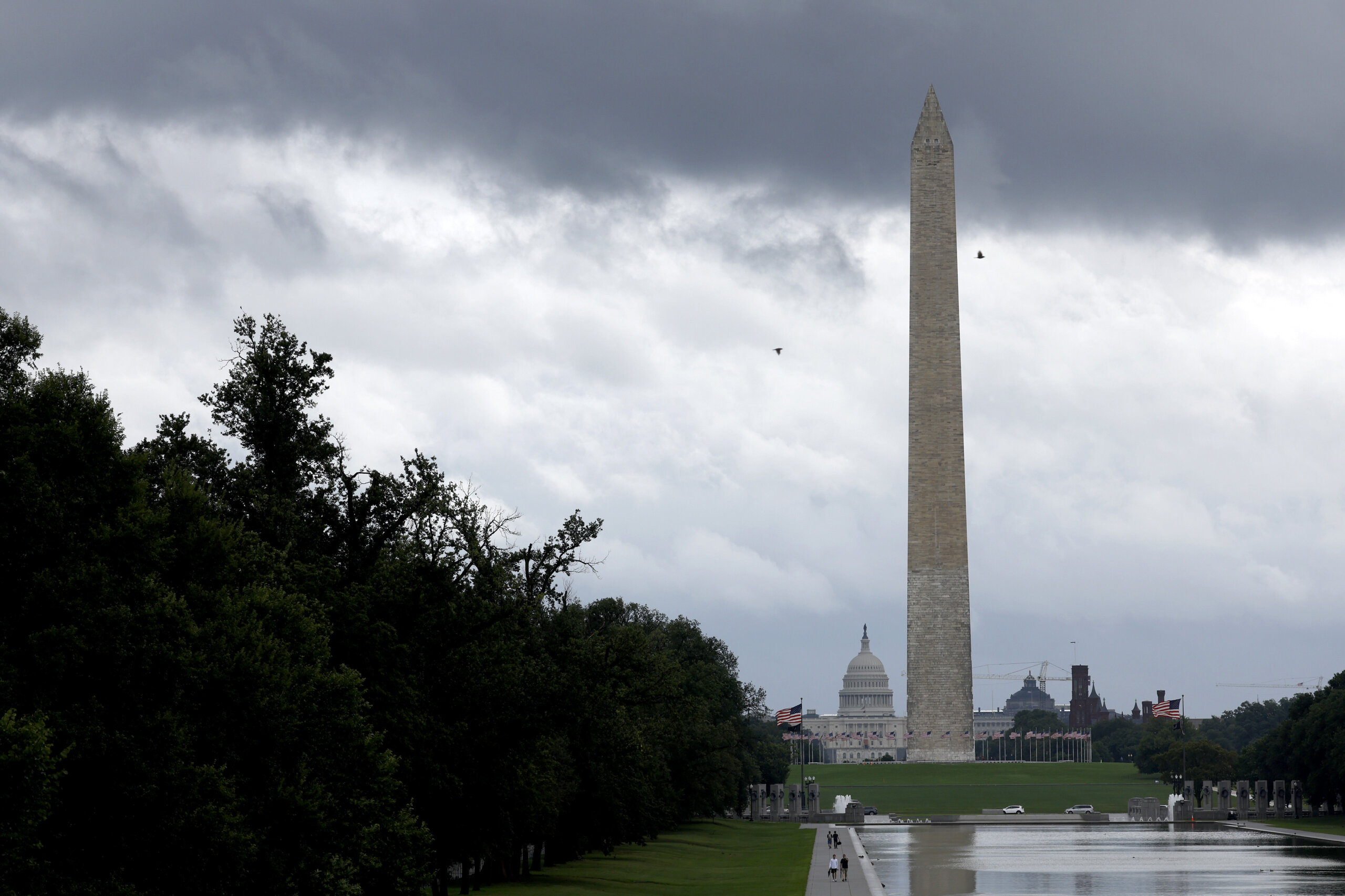
The D.C. area is experiencing scattered showers and a return to heat Monday after a week of cool breezes and…
The D.C. area is experiencing scattered showers and a return to heat Monday after a week of cool breezes and sunshine.
A severe thunderstorm warning was in effect for the area of Annapolis, Maryland, until 5:45 p.m. The passing storm brought the potential for 60 mph wind gusts that put trees and large branches at risk of falling.
The National Weather Service also said quarter-sized hail was possible with this storm. According to 7News First Alert Meteorologist Steve Rudin, most storms should be out of the D.C. region by 8 p.m.
A Code Orange air quality reading is in on the forecast Tuesday and the heat index will climb back into the upper 90s. Tuesday will see partly cloudy skies most of the day.
FORECAST
THIS EVENING: STORM ALERT
Scattered showers and thunderstorms
Temperatures: 70s to 80s
Winds: West 5-10 mph
Scattered showers and thunderstorms will move across the D.C. area into the evening. Some storms may become strong to severe with gusty winds and hail. Most if not all storms will draw to a close around 8 p.m. Keep in mind not all neighborhoods will see rain and storms.
TONIGHT: Turning partly cloudy, patchy fog
Lows: 65-72
Winds: Light
Plan for a mild and muggy night with areas of patchy fog possible.
TUESDAY: Partly cloudy
Highs: 90-95
Heat Index: 95-100
Winds: Light
This heat is on Tuesday with afternoon highs in the 90s. Feels-like temperatures will be in the mid 90s under a mix of sun and clouds.
TUESDAY NIGHT: Hazy and humid
Lows: 70s
Winds: Light
For late August, overnight lows for many neighborhoods won’t fall below 70 degrees.
WEDNESDAY: HEAT ALERT
Mostly sunny
Highs: 95-100
Heat Index: 100-105+
Winds: Southwest 5-10 mph
The heat should peak on Wednesday with high temperatures close to 100 degrees and the heat index as high as 105 degrees.
THURSDAY: Partly cloudy, chance for storms
Highs: 89-94
Heat Index: 95-100
Winds: East 5-10 mph
Another hot and humid day with a chance for isolated afternoon showers and storms.
CURRENT CONDITIONS
Get breaking news and daily headlines delivered to your email inbox by signing up here.
© 2024 WTOP. All Rights Reserved. This website is not intended for users located within the European Economic Area.