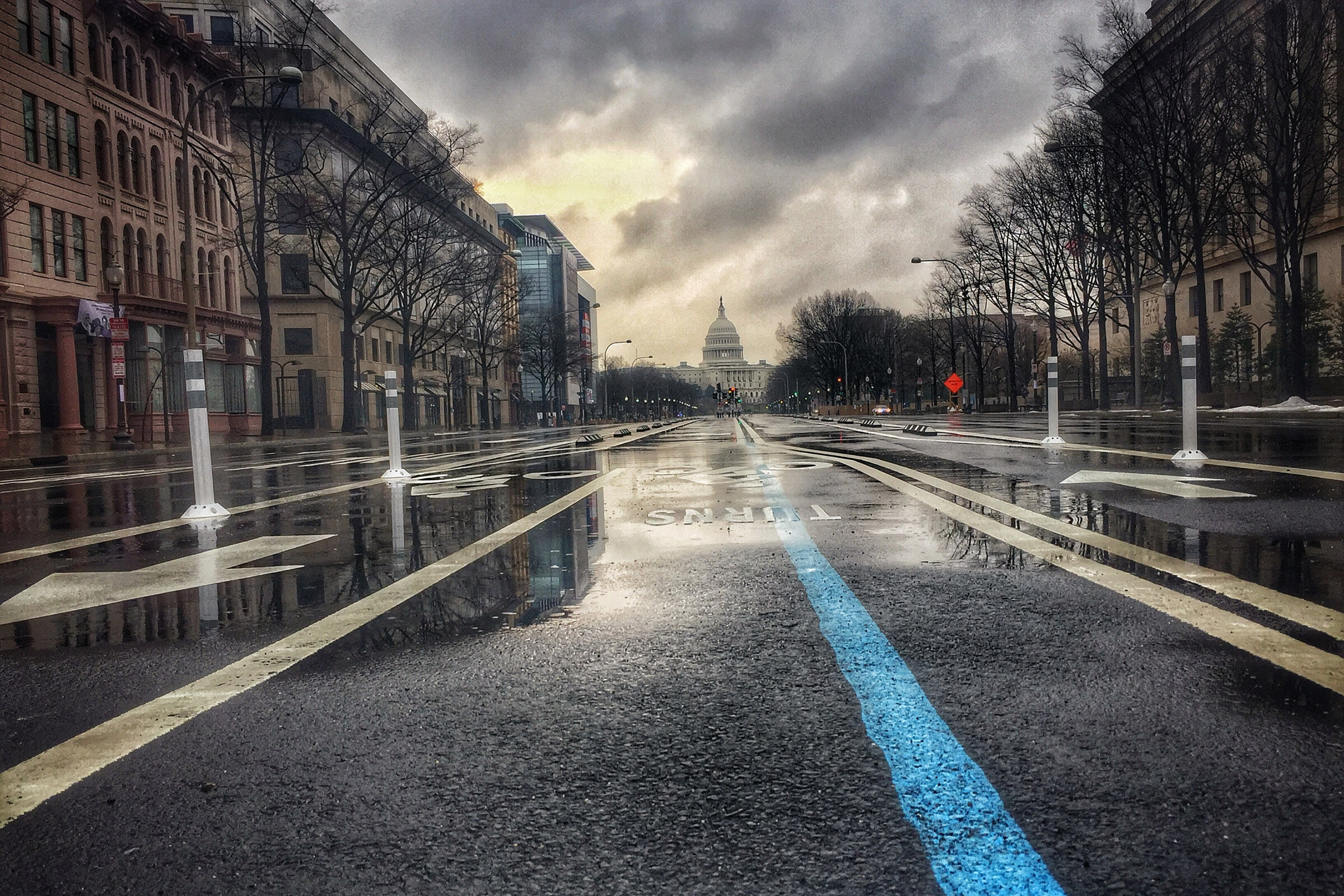
There is a possibility for severe thunderstorms, gusty winds, heavy rain and even a few isolated tornadoes for the District, Maryland and Virginia into Sunday evening. Here’s what you need to know.
There is a possibility for severe thunderstorms, gusty winds, heavy rain — and even a few isolated tornadoes — for the District, Maryland and Virginia into Sunday evening. Here’s what you need to know.
The National Weather Service has issued a severe thunderstorm watch, as well as a severe flood watch for the DMV until 10 p.m. Sunday night. We’ll update here if any escalate into immediate warnings.
For Sunday afternoon, forecasters see the potential for more storms that could prompt alerts for larger portions of the D.C. metro area.
WTOP Meteorologist Mike Stinneford said, “main threats will be damaging winds and very heavy rainfall, but there also could be a few tornadoes.”
“Storms will end before midnight, with some patchy fog developing overnight,” he added.
The National Weather Service said the widespread showers and thunderstorms could possibly include gusty winds, large hail and heavy rainfall.
Passing showers & areas of fog/low clouds this morning will give way to sct’d to numerous storms this afternoon. The primary threat with storms today (2-10pm) looks be damaging winds, localized flooding, & an isolated tornado. Highs temps today in the 80s east of the mtns. pic.twitter.com/XddbffoiPc
— NWS Baltimore-Washington (@NWS_BaltWash) August 18, 2024
The service also said conditions pose a risk for isolated tornadoes. 7News First Alert Meteorologist Jordan Evans said that “risk is very low, but not zero.”
The storms aren’t expected to be a washout, according to 7News First Alert Meteorologist Mark Peña, but could net up to an inch of rainfall for the drought stricken capital region.
“Localized flooding will be possible, especially for areas that see prolonged periods of moderate to heavy rain,” he said.
Monday shows signs of bringing wet, although not as severe, conditions through the District, Maryland and Virginia as a cold front enters the region, Stinneford said. However, the rest of the workweek is looks to be not so drab.
“Want some good news? Beautiful weather is coming our way Tuesday through Thursday with pleasant temperatures and low humidity,” he said.
WTOP’s Ivy Lyons contributed to this report.
7News First Alert Forecast
TODAY: STORM ALERT: Mostly cloudy. Showers, storms later in the day. Highs in the 80s.
Winds: Southeast 5-10 mph
TONIGHT: Mostly cloudy. Lows in the upper 70s to lower 80s.
Winds: Northwest 5-10 mph
MONDAY: Scattered showers, storms. Highs in the upper 70s to lower 80s.
Winds: Northwest 5-10 mph
TUESDAY: Mostly sunny. Highs in the 70s.
Winds: Northwest 5-10 mph
WEDNESDAY: Mostly sunny. Highs in the middle to upper 70s.
Winds: North 5-10 mph
Outages:
Current weather:
Get breaking news and daily headlines delivered to your email inbox by signing up here.
© 2024 WTOP. All Rights Reserved. This website is not intended for users located within the European Economic Area.