The Alexander Mountain Fire, as of the morning Friday, Aug. 2, was burning over 9,000 acres in mountainous Larimer County west of Loveland.
If you’re not familiar with that area, it can be difficult to get perspective on the size of the fire.
Here are some maps and data to put size into perspective for both the Alexander Mountain Fire and the Cameron Peak Fire, the largest wildfire in Colorado history.
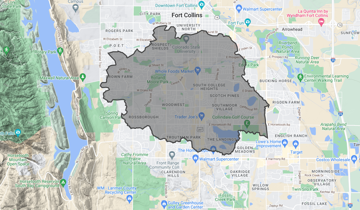
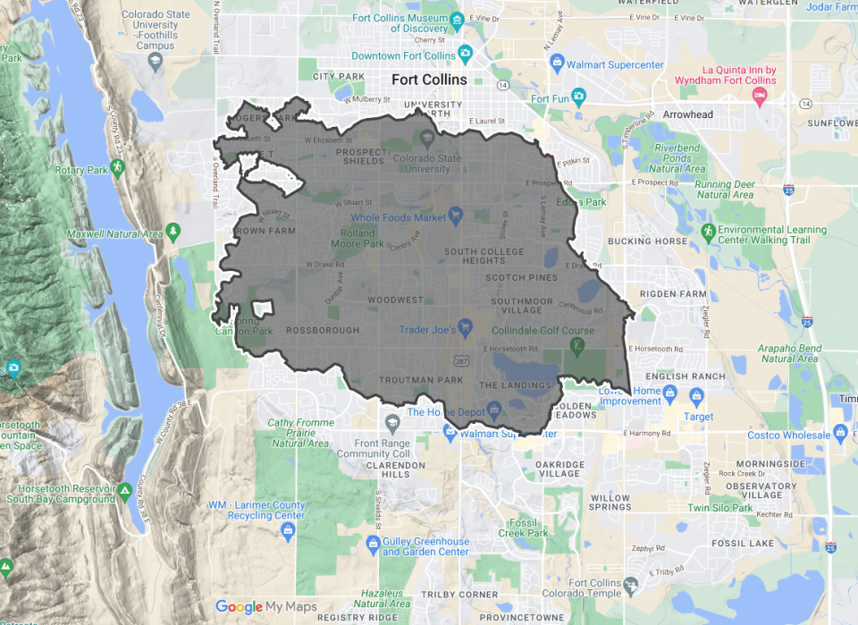
How the Alexander Mountain Fire compares in size to Fort Collins
The Alexander Mountain Fire is burning about 14.4 square miles, according to the latest available mapping.
The map above shows its perimeter as of Aug. 2, 2024, and how it compares with the size of Fort Collins.
The shape of the burn area is rough-edged oval. Its tips would stretch approximately from Overland Trail on the west to Timberline Road on the east and from Mulberry Street on the north to Harmony Road on the south.
That’s close to the size of Johnstown, but smaller than Winter Park, according to U.S. Census data.
How does the Alexander Mountain Fire compare in size to the Cameron Peak Fire in 2020?
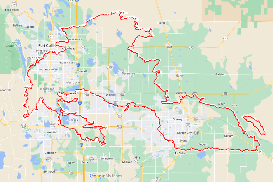
The Cameron Peak Fire of 2020 burned more than 208,000 acres. Here’s how its perimeters compare with the size of Fort Collins.
Its shape would encompass portions of multiple Northern Colorado communities, including Fort Collins, Loveland and Greeley.
Evacuation areas are large, but only a fraction of Larimer County
The evacuation areas for the Alexander Mountain Fire, as of Friday, Aug. 2, cover 150 square miles.
For comparison, Larimer County is about 2,640 square miles. That means the evacuation areas are covering just under 6% of the county.
Worst wildfires: Top 5 largest wildfires in Colorado
How far away is the Alexander Mountain Fire from …
As of Friday morning, Aug. 2:
-
Devil’s Backbone Open Space: Around 3 miles to the east
-
CSU Mountain Campus: Around 15 miles northwest
-
Glen Haven: Around 6 miles to the west
-
Carter Lake: Around 4.5 miles to the south, across the Big Thompson River and canyon
Coloradoan reporter Erin Udell contributed to this report.
This article originally appeared on Fort Collins Coloradoan: Alexander Mountain Fire: How it compares in size to Cameron Peak Fire