Use the live interactive radar below to track what’s happening in your area. Our latest weather story can be found here.
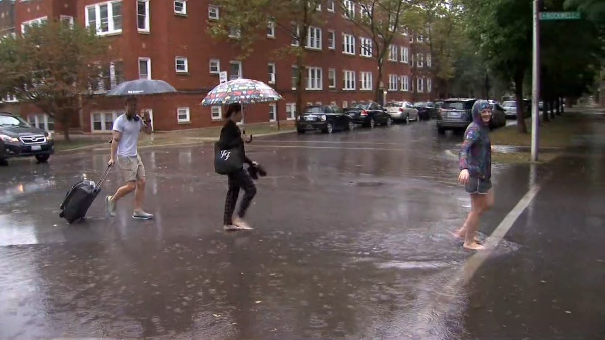
Sunday is expected to be a hot and humid day in the Chicago area, with several rounds of thunderstorms and the potential for severe weather.
An initial wave of storms developed early Sunday morning just to the northwest of the Chicago area, pushing slowly to the southeast and bringing heavy rain to already saturated areas that had dealt with flash flooding on Saturday night.
A flood warning remains in effect in McHenry and DeKalb counties, while a flood watch remains in effect for McHenry, Lake, DeKalb, Kane, DuPage and Cook counties until 1 p.m. Sunday, according to the National Weather Service.
Several additional inches of rain could fall Sunday, and for areas outside of the impacted region, pop-up thunderstorms could be in the forecast for later in the day, along with temperatures in the low-to-mid 90s and heat indices exceeding 100 degrees.
You can track the movement of Sunday’s storms with our live radar.