
D.C., Maryland and Virginia will spend Sunday with highs that could near 100 and feel much higher before showers and thunderstorms enter the forecast.
D.C., Maryland and Virginia will spend Sunday with highs that could near 100 and feel much higher before showers and thunderstorms enter the forecast. Here’s what you need to know.
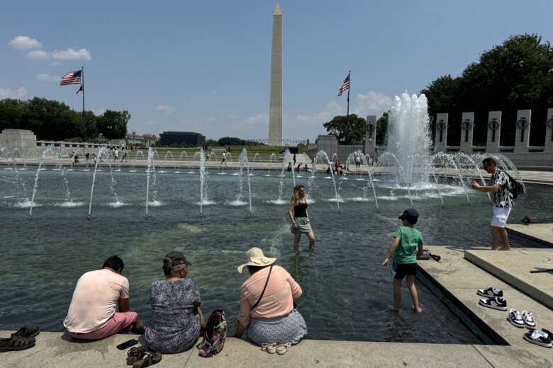
After a record-breaking Saturday afternoon featuring highs at or above 100, Sunday is set to bring heat index values as high as 108, according to the National Weather Service.
“Hot and humid conditions will continue through the weekend,” the service said.
It issued a heat advisory for the Washington-Baltimore area between 11 a.m. and 7 p.m. Sunday.
Another hot day is expected today, and the Heat Advisory has been expanded westward. Scattered showers and thunderstorms arrive this afternoon and evening, lingering into early Monday. Dry conditions are expected the remainder of Monday and Tuesday. #DCwx #MDwx #VAwx #WVwx pic.twitter.com/50MGzxNqEr
— NWS Baltimore-Washington (@NWS_BaltWash) June 23, 2024
Ahead of Sunday’s high temperatures and storms, 7News First Alert Meteorologist Jordan Evans said the D.C. area can expect “another very hot and very humid day.”
Citing a “Heat Risk value” of 4 out of 4, Evans said the high temperatures should be taken seriously.
“This level of rare and/or long-duration extreme heat with little to no overnight relief affects anyone without effective cooling and/or adequate hydration,” said Evans.
Showers and thunderstorms are likely with an approaching front during the evening. Some storms may be strong with gusty winds and lightning.
Showers and thunderstorms are also expected around the D.C. region later Sunday evening and could remain around the D.C. metropolitan area through early Monday morning.
7News First Alert Meteorologist Mark Peña said some of these storms “could be on the strong to severe side” and advised caution when planning outdoor activities Sunday evening.
Monday morning temperatures are expected to linger on the cooler side, with less humidity and a brief return to 90-degree days.
Outages:
Saturday’s heat continued to prove challenging for residents in the District, with thousands reportedly without power in the Petworth area and parts of Prince George’s County, Maryland.
A spokesperson for Pepco, the major utility provider for D.C. homes, told WTOP power crews are on the ground working to restore electricity.
“There are scattered underground issues that are impacting customers in the District and Prince George’s county. Our crews are investigating the cause and will work safely and quickly to restore power to impacted customers,” the utility said.
Pepco couldn’t confirm if heat or another factor was behind the outage, saying the issue remains under investigation by its crews. Customers impacted by the outage were expected to see power restored before 7 a.m.
Loudoun County, Virginia, residents are also dealing with power outages caused by a downed power line amid the heat wave. Officials expect power to return to most customers by 5 a.m. Sunday.
Anyone who notices downed power lines or damaged equipment around their home is encouraged to maintain a safe distance and call to report the issue.
Current weather:
7News First Alert Forecast
SUNDAY: HEAT ALERT, STORM ALERT: Mostly sunny, evening storms. Highs in the middle 90s to 100, with a heat index between 103 and 107.
Winds: Southwest 5-15 mph
SUNDAY NIGHT: Showers and storms before midnight, leftover showers before sunrise. Lows in the 70s.
Winds: Southwest 5-10 mph
MONDAY: Passing clouds, leftover showers. Highs in the lower to middle 90s.
Winds: West 5-15 mph
TUESDAY: Sunny and dry. Highs in the upper 80s to lower 90s.
Winds: West 5-10 mph
WEDNESDAY: Partly cloudy, chance for storms. Highs in the middle 90s to 100, with a heat index between 100 and 105.
Winds: Southwest 5-10 mph
Get breaking news and daily headlines delivered to your email inbox by signing up here.
© 2024 WTOP. All Rights Reserved. This website is not intended for users located within the European Economic Area.