A plane that flew into Hurricane Helene for scientific research has returned safely, the National Oceanic and Atmospheric Administration (NOAA) said in an update.
One of the weather agency’s Hurricane Hunter aircraft flew into the eye of the hurricane on Thursday.
Observers noted online that the aircraft appeared to be circling inside the eye, and some expressed concern about its safety.
In a post on X, formerly Twitter, the NOAA Aircraft Operations Center said: “To address rumors – the NOAA WP-3D Orion N42RF #NOAA42 and crew are in good condition and have completed their mission.
“During their second of four eyewall passes in Hurricane #Helene, the crew orbited within the eye to release a second uncrewed aircraft system for research purposes. The crew was also evaluating if landing conditions would allow a return to home base instead of point of origin.”
“Thank you for your concern, “Kermit” and crew are fine,” the statement continued, referencing the plane’s nickname.
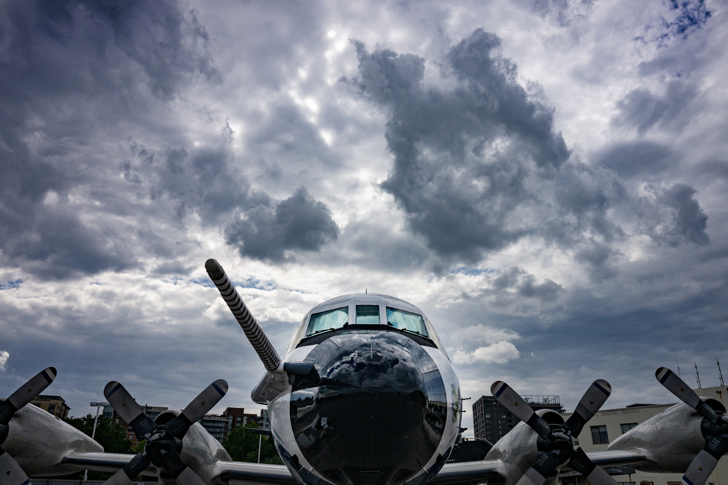
“Kermit” is one of two P-3D Orion turboprop planes that NOAA operates out of Lakeland, Florida, flying them into or over active storms to gather data.
JIM WATSON/AFP via Getty Images
Concern was sparked about the plane when online flight trackers showed it circling inside the eye of Hurricane Helene.
One X user shared an image of the plane’s path on FlightRadar24, a live flight tracker, and said there was a rumor that an “unconfirmed emergency” had been declared after the plane hit an extreme updraft and possibly became “stuck in the eye.”
Andy Hazelton, an associate scientist at NOAA’s hurricane research division department, was one of the crew members on the flight, and shared an update after the mission.
“What a flight with @NOAA_HurrHunter into #Helene, as we found data making the system a Category 4 hurricane. Some important science including launching two uncrewed probes. A very bumpy and hairy eyewall, including some “scallops” in the N eyewall that we didn’t venture through and lots of mesovortices. Even some lightning in the core,” he wrote.
What a flight with @NOAA_HurrHunter into #Helene, as we found data making the system a Category 4 hurricane. Some important science including launching two uncrewed probes. A very bumpy and hairy eyewall, including some “scallops” in the N eyewall that we didn’t venture through… pic.twitter.com/ZtKjqu23MM
— Andy Hazelton (@AndyHazelton) September 27, 2024
Hurricane specialist Michael Lowry shared a screenshot of data obtained by the uncrewed drone launched by the plane on X.
The preliminary data measured “10-second flight-level winds of 158 mph at 946 mb,” he wrote.
The 158 mph wind measurement showed that the hurricane is very strong — category 4 hurricanes typically have winds between 130-156 mph.
Hurricane Helene made landfall in Florida on Thursday, becoming the season’s most powerful hurricane by the time it reached land.
Newsweek reached out to the NOAA for comment via email outside of regular working hours.