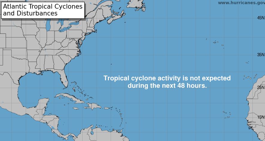
AUSTIN (KXAN) — Former Hurricane Ernesto dissipated on Aug. 22. It has left another quiet time in the Atlantic Basin. The Basin includes the Caribbean and the Gulf of Mexico. Gulf temperatures remain quite warm, but as of this writing, there is nothing brewing.
In a normal August, we would be seeing a few more of these tropical weather seasons lining up but that hasn’t been the case. In a season predicted to be very active, the opposite has been the case.
What’s the issue? Why has the Basin been so quiet? Even as La Niña continues to form, the result has been much less than predicted.
The La Niña weather pattern is expected to be stronger during the fall season. It will combine with warm waters in both the Atlantic and the Gulf leading to a marked increase in tropical storm and hurricane activity. At least, that is what’s being forecast.
There are at least two contributing factors to the slow start. The first is one we’ve talked about several times. It’s the Saharan dust plumes that come west from Africa. Though Central Texas has not seen any of that dust for a few days, it is still prevalent in the Atlantic. The dust blocks the sun’s rays thus cooling the ocean temperatures, and limits the moisture that condenses into clouds and grows. Once the dust settles this will increase water temps.

MDR stands for Main Development Region. The MDR is the area of warm water in the Atlantic Basin stretching from the west coast of northern Africa to the east coast of Central America and the Gulf. Current ocean and Gulf temperatures are between 85° and 90°.
The second factor is the location of the tropical waves. Meteorologists with the National Hurricane Center are reporting that tropical waves are moving off the west coast of Africa more to the NORTH of the Cape Verde Islands, where the water temperatures are cooler. North of the islands we find sea surface temperatures between 75° and 80°.
A normal track takes the waves out of Africa passing south of the islands where water temperatures are greater than 85°.

Of course, with each passing day, we get closer to the date that the hurricane season peaks. That date is Sept. 10. Meteorologists suggest that as the water temperatures continue to warm, there will be a significant increase and a much busier tropical weather season.
Thus, we wait for Francine and Gordon, the next two named storms in the Atlantic Basin.