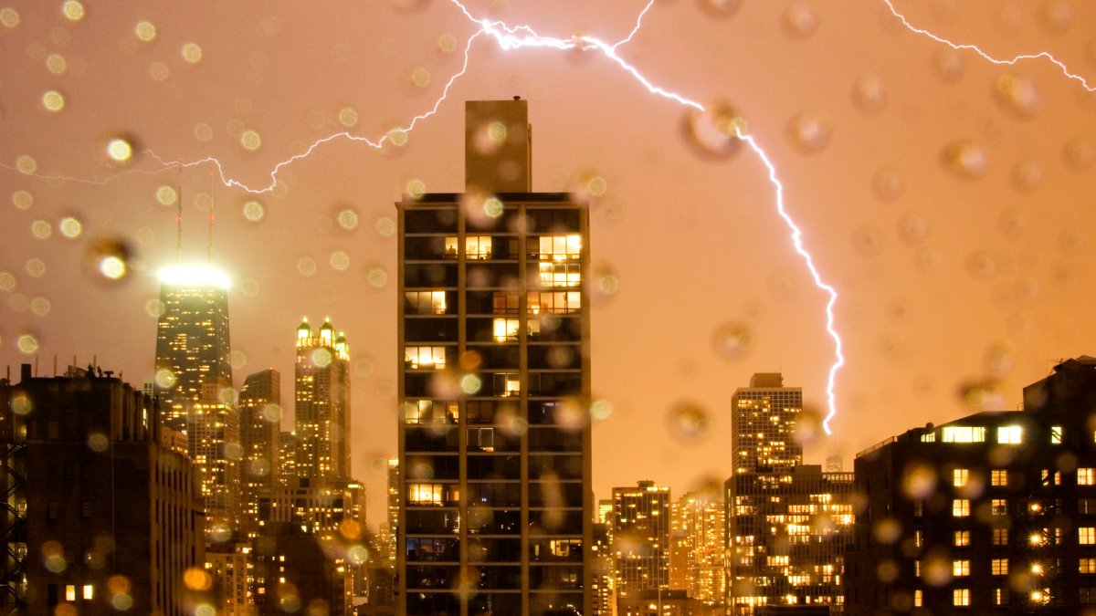
The Chicago area could face multiple rounds of strong-to-severe thunderstorms in coming days, with everything from gusty winds to heavy rain to even isolated tornadoes possible.
Those threats will start to emerge on Thursday morning and will continue through at least Friday night, with more showers still possible Saturday as a slow-moving system impacts the region.
Here’s what you can expect in the coming days.
Wednesday Evening
After a dry and warm day with highs in the mid-to-upper 80s across the area, showers will slowly start to push through the Chicago area leading up to midnight, according to forecast models.
Thursday Morning
As daybreak approaches, showers will become numerous across the area, and by the time the morning rush hour rolls along, widespread showers and thunderstorms will be possible.
According to the Storm Prediction Center, the Chicago area will be at a “slight” risk of severe weather Thursday morning. The primary threat will be gusty winds, which could approach 60 miles per hour at times. Heavy rain is also possible, along with limited risks of hail and isolated tornadoes.
Those showers and storms are expected to dissipate before the noon hour, leading to a brief period of clear conditions.
Thursday Afternoon
Isolated showers and storms are possible during the afternoon, with highs around 80 degrees across much of the area.
Thursday Evening/Friday Morning
Another round of showers and storms is expected to arrive late Thursday evening and into Friday morning, with another threat of severe weather on the horizon.
Once again, the primary threats will be damaging wind gusts and heavy rain, with limited chances of hail and an isolated tornado risk across the area.
Friday Afternoon
Isolated showers are possible during the afternoon, with highs rising into the low-to-mid 80s across the region, according to forecast models.
Friday Evening
Showers once again become more widespread, with some thunderstorms also developing. While the Chicago area will only be at a “marginal” risk of severe weather, there is still a chance of gusty winds and heavy rain once again, with those showers and storms sticking around late into the evening.
Saturday
Some forecast models are suggesting that Hurricane Ernesto could impact the speed of the storm system exiting the Chicago area, slowing it down and allowing it to continue to pelt the area with rain.
While there’s not a threat of severe storms in the area at this time, there is a chance that the showers could stick around well into the day Saturday or even Sunday, adding more rain to already sopping wet territory in the area.