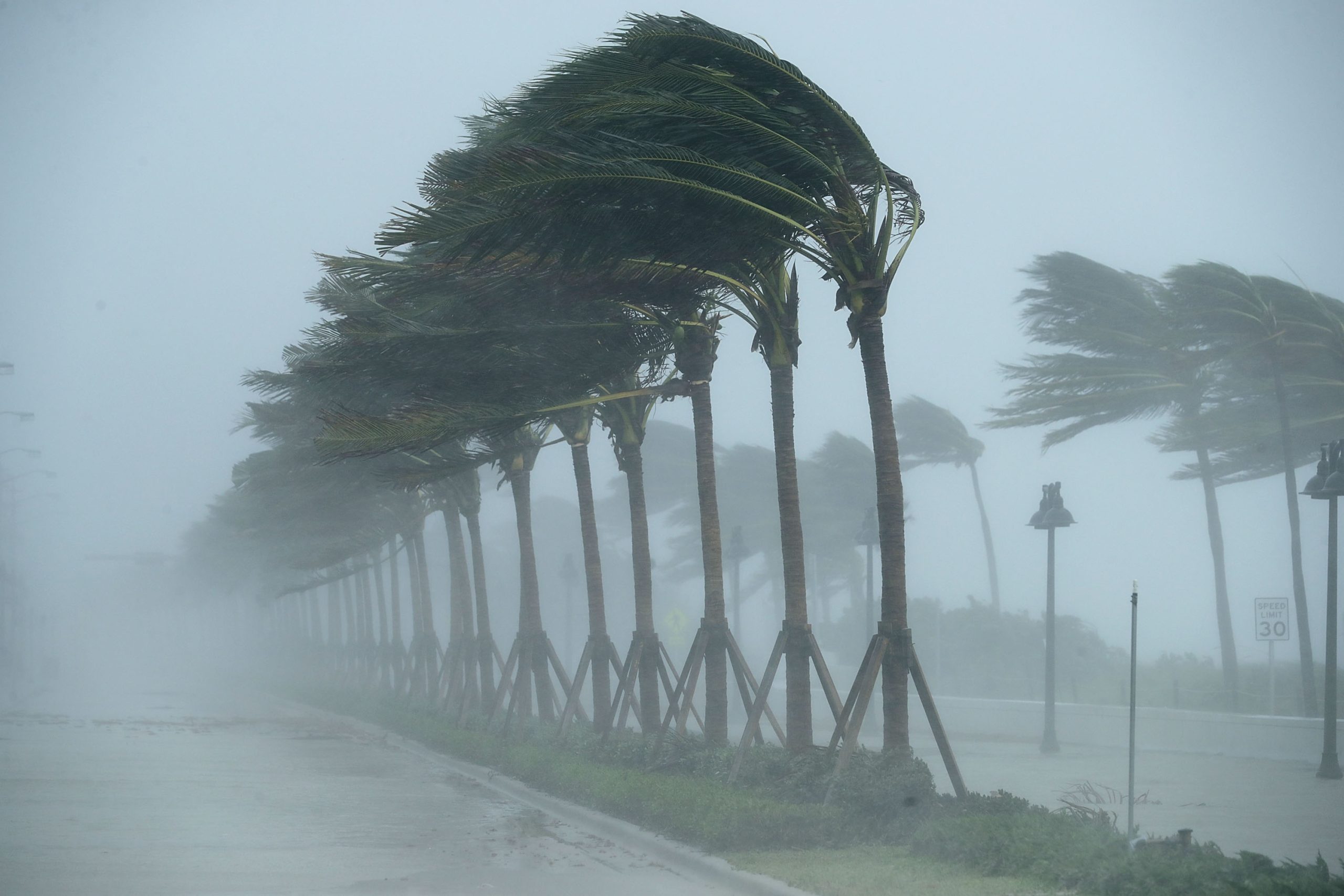
Satellite imagery captured Hurricane Ernesto from space on Thursday morning as the storm continues its path through the Atlantic Ocean.
Ernesto became a tropical storm on Monday after moving quickly through the Caribbean, and it evolved into a hurricane by Wednesday morning as it brought heavy rain and the threat of significant flooding to Puerto Rico and the Virgin Islands. The storm is expected to continue gaining strength this week, and its path is forecast to travel past Bermuda before winds are expected to reach Nova Scotia by late this weekend. Although the storm’s path won’t bring a direct landfall to the U.S., the storm poses fatal risks to parts of the East Coast.
Ernesto is the fifth named storm of the 2024 Atlantic hurricane season. As of Thursday afternoon, the storm’s maximum sustained winds were measured at 85 mph, which is a Category 1 hurricane.
“Lightning flashes within Hurricane Ernesto this morning,” the Cooperative Institute for Research in the Atmosphere (CIRA) posted on X, formerly Twitter, on Thursday morning with satellite imagery that showed lightning flashes within the swirling storm.
The most recent update from the National Hurricane Center (NHC) was shared on Thursday evening.
“Hurricane #Ernesto moving toward Bermuda. Conditions expected to deteriorate there beginning Friday afternoon,” the NHC posted on X.
Newsweek reached out to the NHC by email for comment.
Other social media accounts also shared satellite images regarding Ernesto. One account said the storm had the “classic look” of a hurricane.
“Current satellite loop of Ernesto this afternoon. You can clearly see Ernesto ramping up on that intensification and attempts at forming an eye,” another account posted on X with radar of the storm.
Current satellite loop of Ernesto this afternoon. You can clearly see Ernesto ramping up on that intensification and attempts at forming an eye. pic.twitter.com/hFN8CweapP
— PC Weather Boy (@PC_WeatherBoy) August 15, 2024
NHC’s most recent update warned that Bermuda could experience impacts from the storm as soon as Thursday evening.
“Rainfall associated with Ernesto is expected to begin to affect Bermuda this evening and may result in flash flooding Friday through this weekend,” the update said.
Meteorologists also have issued several warnings regarding the U.S. East Coast. Ernesto is not expected to make direct landfall in the U.S., but impacts will still be felt.
“Even though Ernesto is forecast to remain well offshore the U.S. East Coast, swells generated by the storm are expected to reach the area during the next few days, including over the weekend,” the NHC update said. “Beach goers should be aware of a significant risk of life-threatening surf and rip currents, and stay out of the water if advised by lifeguards.”
Hurricane Ernesto is expected to strengthen into a major hurricane by later this week.
Getty