A warming and drying trend is taking hold across Colorado as a new week begins, with temperatures heading back into the 90s and drifting Canadian wildfire smoke boosting ozone levels on the northern Front Range until at least 4 p.m. Monday.
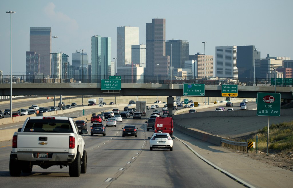
State health and air quality officials issued an ozone action day alert late Sunday that will stretch into late today, covering Douglas County north to Larimer and Weld counties, including the metro area, Fort Collins and Greeley. Ozone concentrations are expected to be at an unhealthy level for sensitive groups and visibility may be poor.
People in that category should consider reducing prolonged or heavy exertion Monday.
Otherwise, the forecast for the week looks delightfully summer-like, according to the National Weather Service. Temperatures are expected to top out at 84 degrees Monday, and drop to a comfortable 59 at night, with sunny skies and light winds. There is a 10% chance of showers and thunderstorms after 3 p.m.
Tuesday temperatures will rise to 89 degrees during the day, with clear skies and areas of smoke before noon. Nighttime temperatures will descend to 61.
Then look for more seasonal temperatures starting Wednesday, with highs near 94 degrees that day. Thursday gets up to 97 degrees and Friday checks in one degree cooler for a high. This weekend’s highs will drop back to the lower 90s with more chances of showers and thunderstorms.