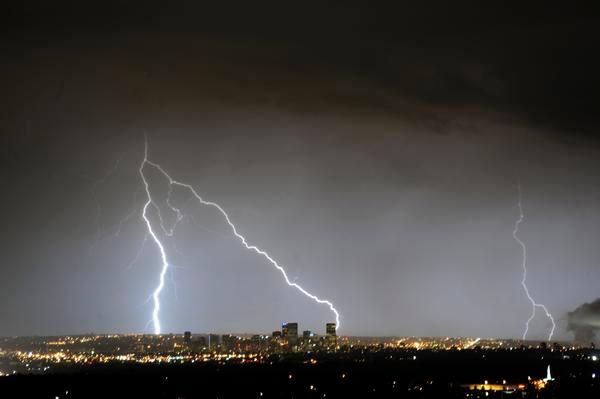
Front Range residents still drying off from Saturday’s downpour shouldn’t put away their umbrellas just yet — more rain and thunderstorms are likely on the way, bringing the threat of flash flooding to the southern Interstate 25 corridor.
National Weather Service forecasters issued a hazardous weather outlook for northeast and north central Colorado, including Denver, Adams, Jefferson, Arapahoe, Broomfield, Boulder, Douglas and Weld counties, as scattered showers and thunderstorms are expected Sunday afternoon and evening.
The heaviest rain is forecast to fall south of Interstate 70, with some flooding, hail and gusty winds possible.
NWS forecasters in Pueblo issued a flood watch for most of the I-25 corridor from El Paso County to the New Mexico state line, including the Sangre de Cristo and Wet mountains. Excessive rain could cause flash flooding starting at 10 a.m. Sunday through the night.
Originally Published: