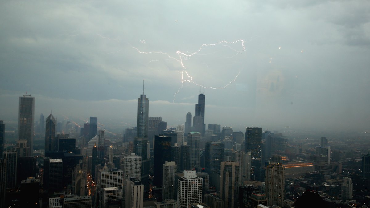
Multiple weather alerts were issued across the Chicago area on Saturday evening as threats of fierce winds, downpours and flooding loomed over the area.
A tornado warning was issued for southwestern Kenosha County until 9:15 p.m.
At 7:36 p.m., the National Weather Service issued a severe thunderstorm watch for the following counties in Illinois: DeKalb, LaSalle, Cook, DuPage, Grundy, Kane, Kankakee, Kendall, Lake, McHenry and Will, plus Lake County in Indiana. The watch was expected to remain in effect through 1 a.m. on Sunday.
As thunderstorms and showers approach, here’s a timeline of what you could experience and when:
7 p.m.
While rain will still be off to the north and west around 7 p.m., a squall line is expected to move into the region and start sweeping to the southeast. Nearly the entire region will be covered by showers at around 10 p.m., according to the National Weather Service.
Damaging winds and heavy downpours could accompany storms as they move through the region. The Chicago area will be under a “slight” risk for severe weather, which is the second threat level on the Storm Prediction Center’s five-level scale.
As a result, small hail of up to a half-inch in diameter and isolated tornadoes are possible. However, the greatest concern will be localized flooding, according to NBC 5 Storm Team Meteorologist Pete Sack.
11 p.m. to 2 a.m.
As the squall line moves to the southeast, rain will diminish in the northern counties of the Chicago area and become heavier in southern areas, such as parts of Will County and Kankakee County. While showers are likely in Northwest Indiana earlier in the evening, the brunt of the rainfall isn’t expected in that region until 11 p.m.
After that, the severe weather risk will drop to “marginal” risk – the first level on the five-level scale.
The band of rain and storms will finally start to push its way out after midnight, meteorologists said.
Early Sunday morning
Most of the rain will move out of the region the early morning hours on Sunday, though we won’t be entirely in the clear afterward. Stray showers are possible around sunrise, Sack said. After the morning rain dissipates, we could see a little bit of more moisture around noon — before cooler temperatures arrive in the afternoon.
Partly cloudy skies are likely, as are temperatures in the low 80s, offering some long-awaited relief to the recent heat spell, Sack said.